I heard about a potential abandoned military plane crash site a few miles from my home and decided to look into it. After some research, I constrained the wreck’s likely spot to an off-trail gulch in a local nature preserve. With plentiful DEET and a loosely defined route, my friends and I ventured into the trees.

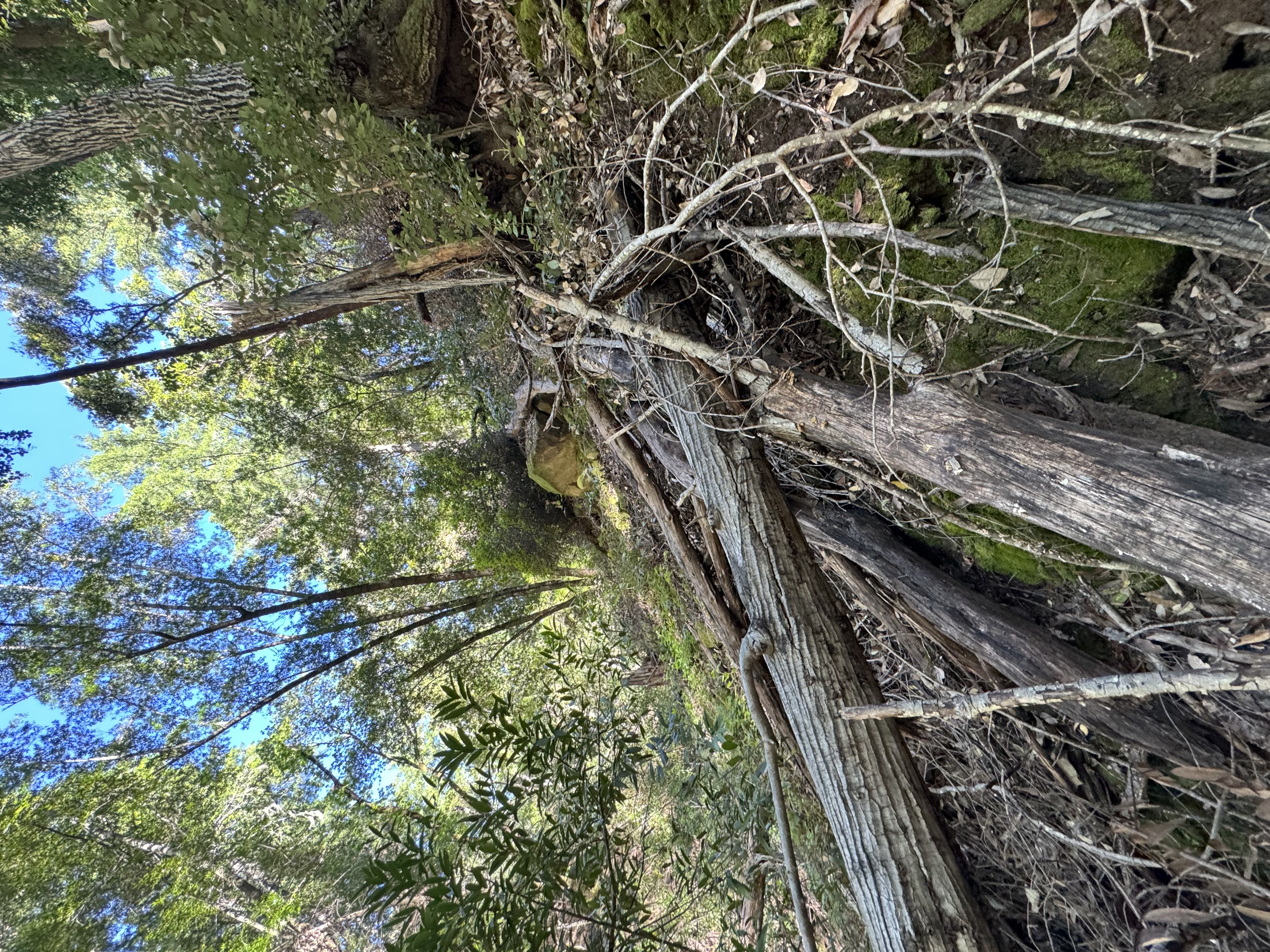
The canyon we elected to descend was steep (dropping 1,000ft over 2,000ft horizontally, ~27° avg. incline) and densely populated with brush, forcing us to zigzag up and down its loose walls. ~2 hours later, we reached the bottom—only to realize we had several hundred feet of river to traverse before the wreck. With time and water waning, we turned back and, thanks to our carelessness, wound up climbing a much friendlier parallel ravine.

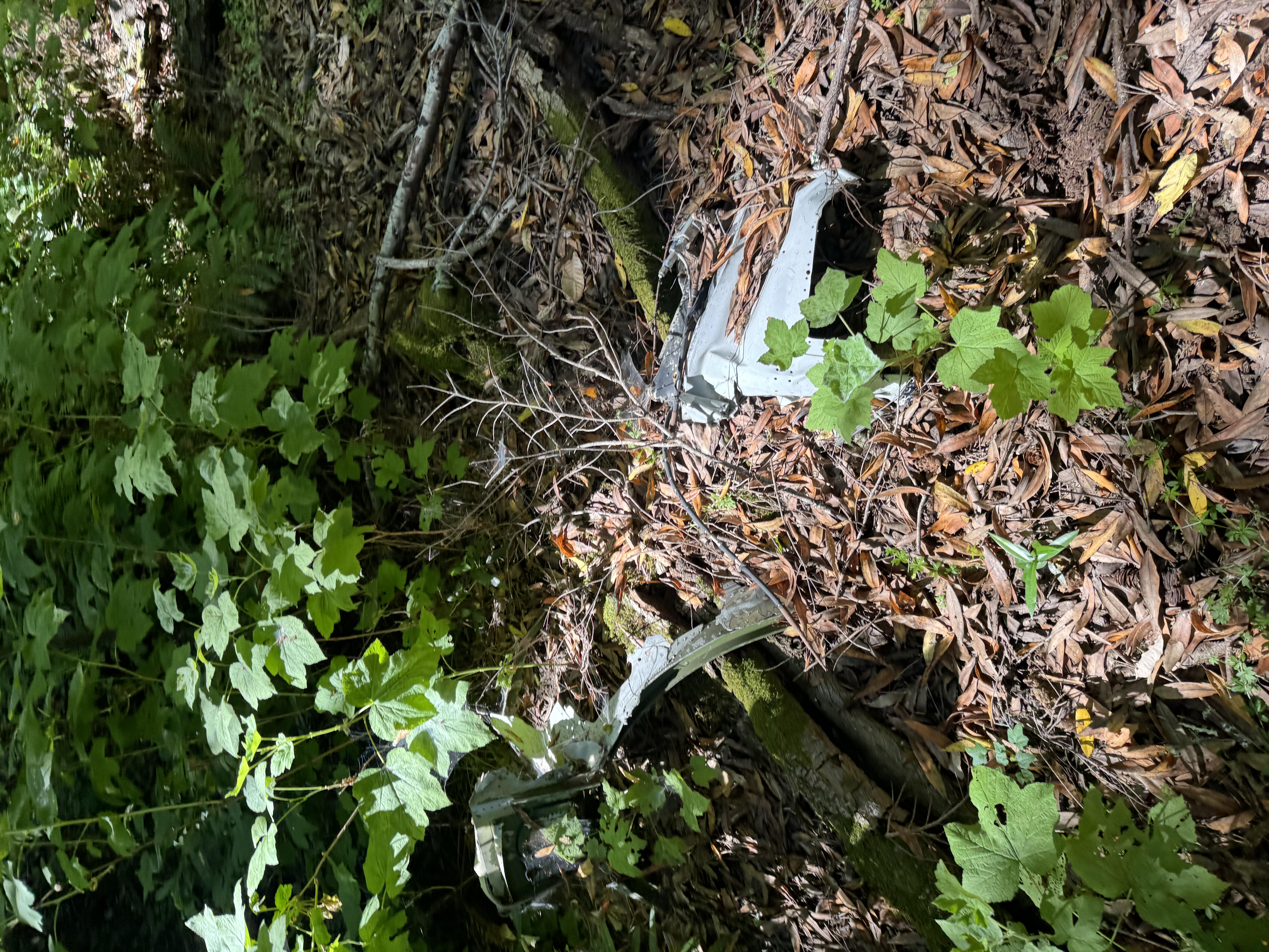
Armed with a new route, we returned for a second attempt, descending our new ravine in ~1 hour. After navigating a heavily overgrown river for a bit, we spotted our first piece of wreckage.


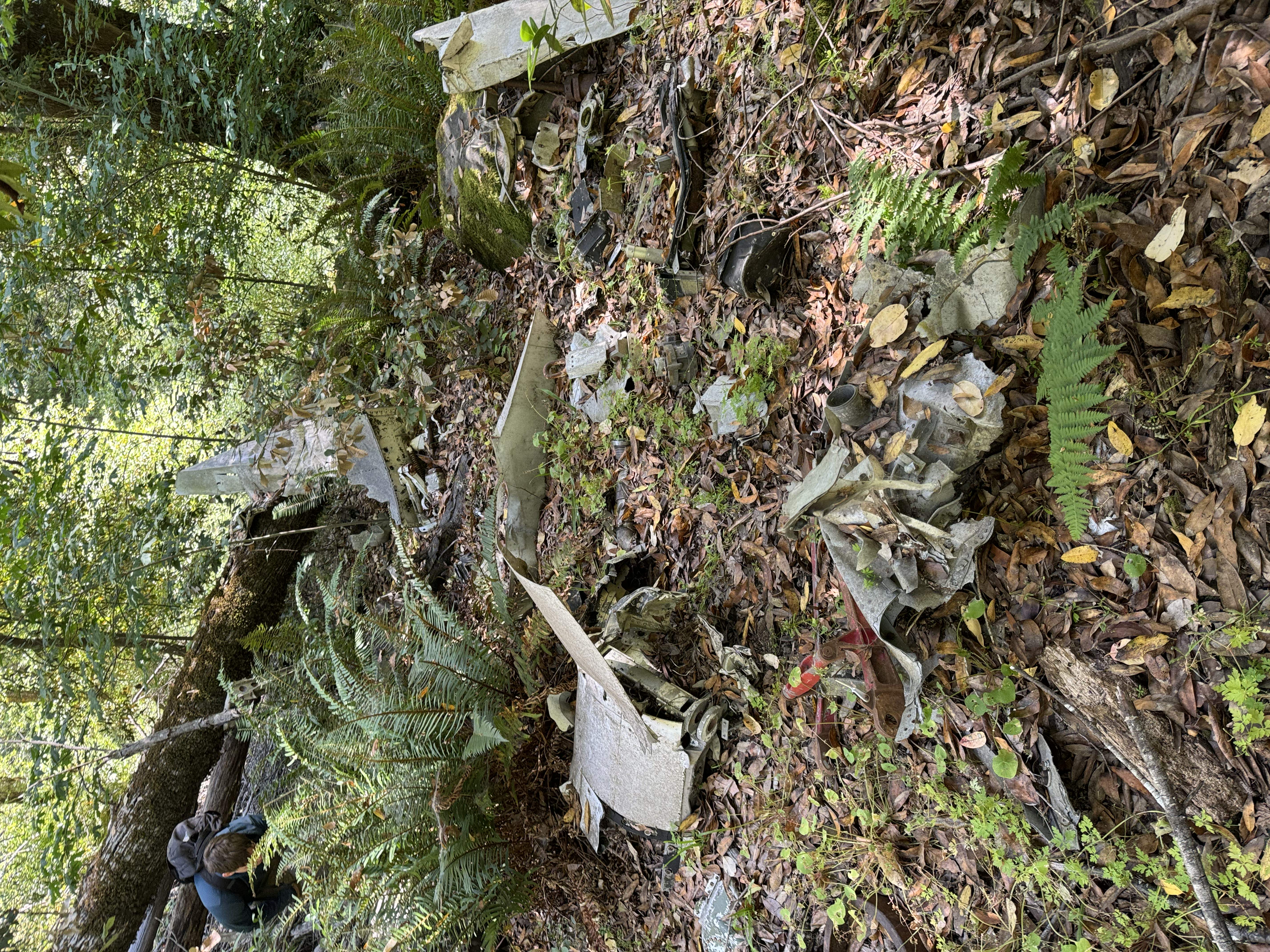
From there, we stumbled upon a larger debris field, with pieces arranged by previous visitors for easy spotting.

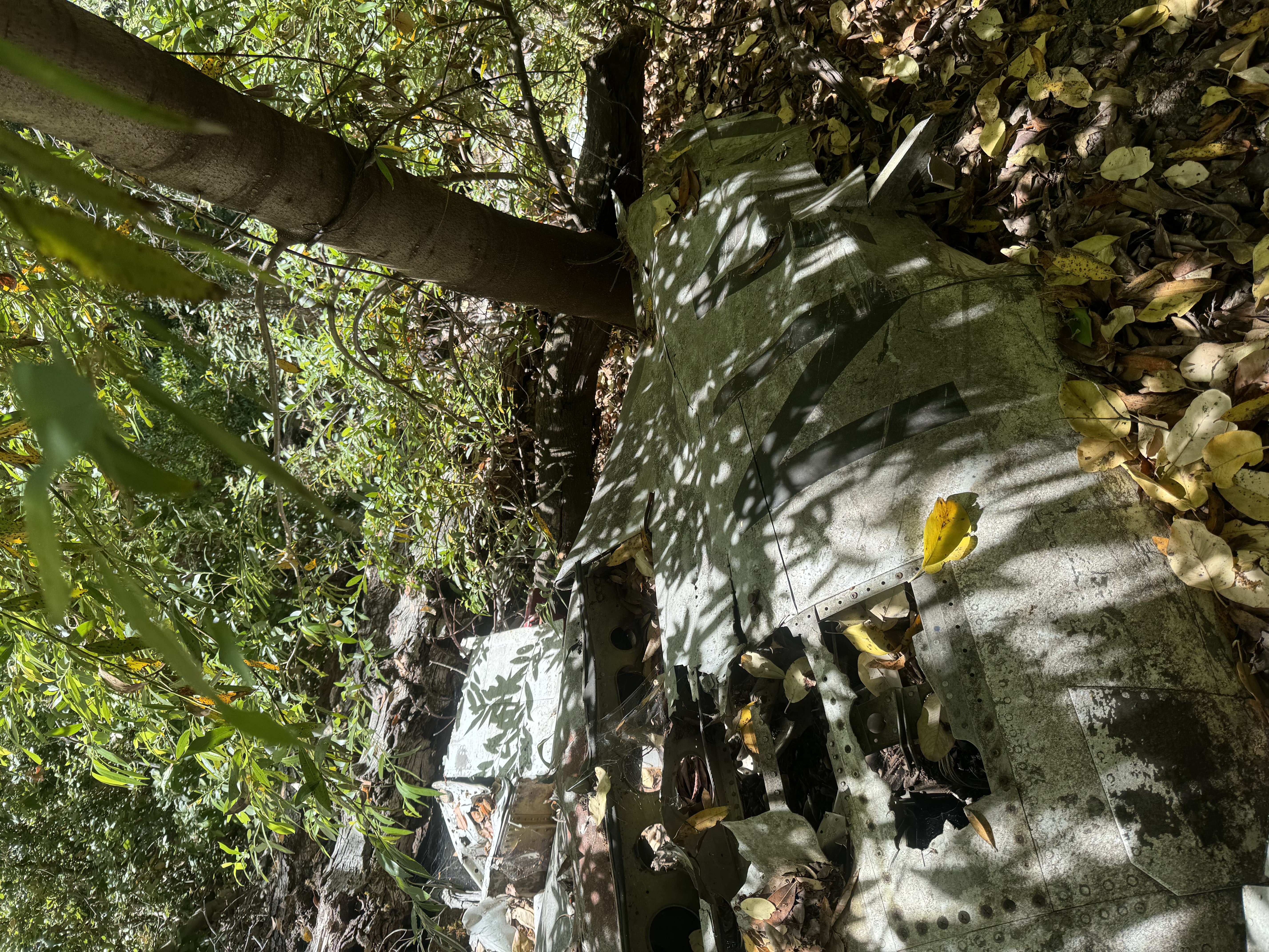
We scrambled up a steep hillside toward the impact site, where we found big, well-preserved sections of wing and tail.


This was a solid introduction to wreckchasing—researching and finding plane crash sites. It also taught me that poor sock-pant seals are worse than no seals, as a single poison oak infiltration can lead to hours of rubbing and months of rashes…